
About our Watersheds
Aquatic ecosystems - such as streams, rivers, and lakes, supply water and food, assimilate wastes, offer a means of transportation, generate energy, provide habitat for many species, and offer recreational opportunities for people. By taking advantage of these services that our aquatic ecosystem provides, humans have changed patterns in flow, altered stream channels, introduced non-indigenous species and pollution, thereby diminishing the systems ability to provide these services that our society values.
Protecting aquatic ecosystems effectively is a challenge because these systems are subject to complex interactions with the surrounding landscape. The ‘watershed approach’ has been adopted by the EIWD and the Province of Manitoba as a means of managing aquatic ecosystems. A watershed is an area of land which shares a common aquatic system. Integrated Watershed Management Planning (IWMP) is a tool used to balance the needs of society with the need to protect the aquatic ecosystem.
What are Watershed Plans and Integrated Watershed Management Plans (IWMP)?
A watershed plan is a document prepared by the local watershed community that describes the actions needed over time to achieve a sustainable healthy watershed. An Integrated Watershed Management Plan (IWMP) is a plan that incorporates all types of watershed issues, including issues such as source water protection, drainage, retention, and development.
The EIWD has completed IWMPs for all of the watersheds within the East Interlake Watershed District:
Note: On January 1st, 2020, the Watershed Districts Act was enacted by the Province of Manitoba. The Act changed some watershed-based boundaries to improve management of water. These changes have not been reflected in our current IWMPs but will be updated during the next IWMP revision process.
Aquatic ecosystems - such as streams, rivers, and lakes, supply water and food, assimilate wastes, offer a means of transportation, generate energy, provide habitat for many species, and offer recreational opportunities for people. By taking advantage of these services that our aquatic ecosystem provides, humans have changed patterns in flow, altered stream channels, introduced non-indigenous species and pollution, thereby diminishing the systems ability to provide these services that our society values.
Protecting aquatic ecosystems effectively is a challenge because these systems are subject to complex interactions with the surrounding landscape. The ‘watershed approach’ has been adopted by the EIWD and the Province of Manitoba as a means of managing aquatic ecosystems. A watershed is an area of land which shares a common aquatic system. Integrated Watershed Management Planning (IWMP) is a tool used to balance the needs of society with the need to protect the aquatic ecosystem.
What are Watershed Plans and Integrated Watershed Management Plans (IWMP)?
A watershed plan is a document prepared by the local watershed community that describes the actions needed over time to achieve a sustainable healthy watershed. An Integrated Watershed Management Plan (IWMP) is a plan that incorporates all types of watershed issues, including issues such as source water protection, drainage, retention, and development.
The EIWD has completed IWMPs for all of the watersheds within the East Interlake Watershed District:
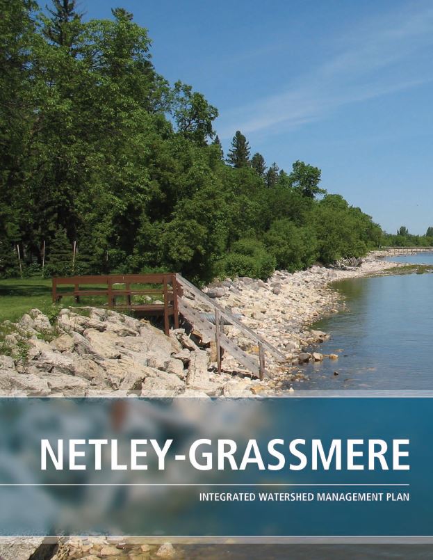
- 05OJ Netley-Grassmere Creek
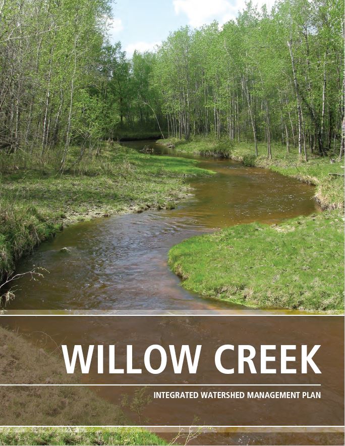
- 05SB Willow Creek
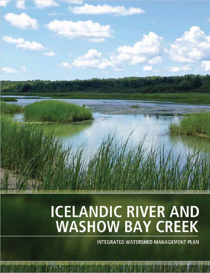
- 05SC Icelandic River-Washow Bay Creek
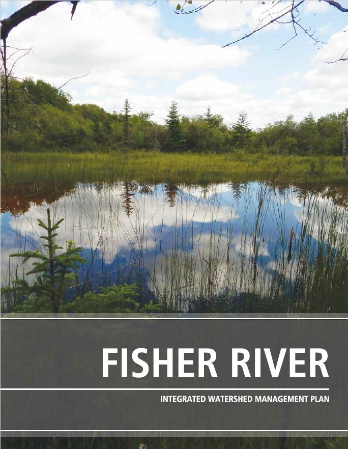
- 05SD Fisher-Mantagao River
Note: On January 1st, 2020, the Watershed Districts Act was enacted by the Province of Manitoba. The Act changed some watershed-based boundaries to improve management of water. These changes have not been reflected in our current IWMPs but will be updated during the next IWMP revision process.
|
|
|
|
Click on a management plan to lean more!
Check out this short video to learn more about Integrated Watershed Management Plans, specifically the Fisher River Watershed!
