
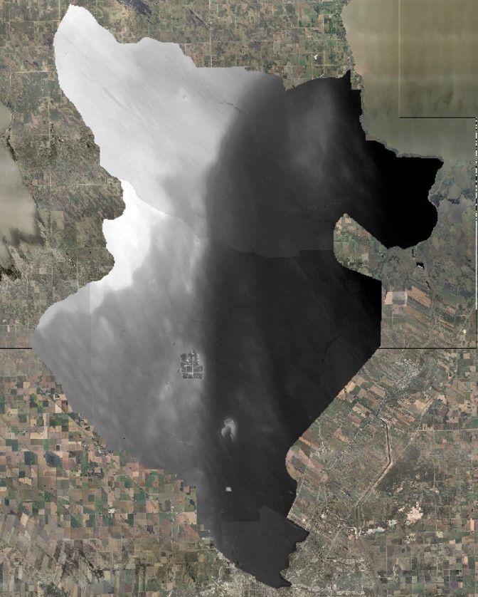
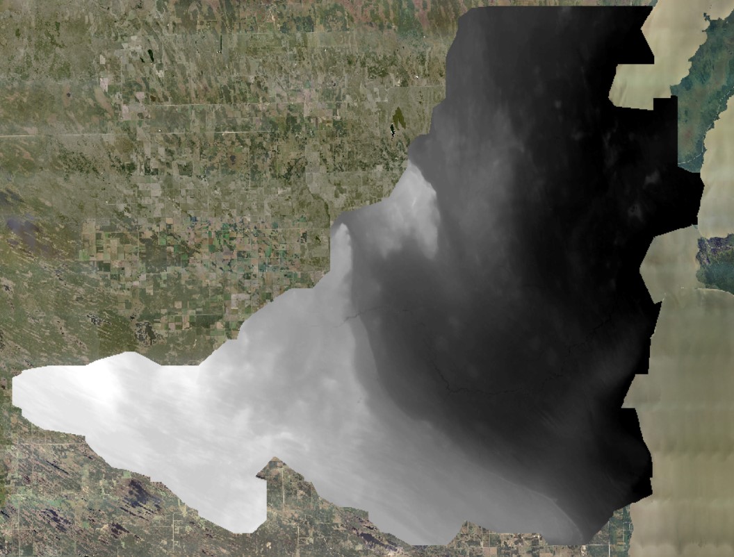
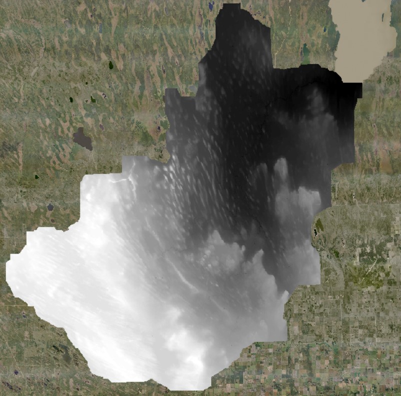
The first step to utilizing LiDAR for water management and conservation projects is to Hydro-Condition the LiDAR data. This refers to the process of editing the LiDAR DEM (Digital Elevation Model) to remove barriers to water when we run our simulations. When LiDAR is flown it does not "see" a culvert underneath a driveway which causes a barrier in our water flow simulation. These 'barriers' change the way that the simulated water flows. This does not accurately represent real life water flow and conditions. In order to make the simulation more accurate to real life conditions, we edit the LiDAR data using our culvert inventory, local knowledge and site visits.
05OJ LiDAR Data
Grassmere Creek, Parks Creek, Wavey Creek, Netley Creek
Flown in 2016 and 2019.
File Name |
Overview |
KMZ |
Shapefiles |
Hydro-Conditioned |
|||
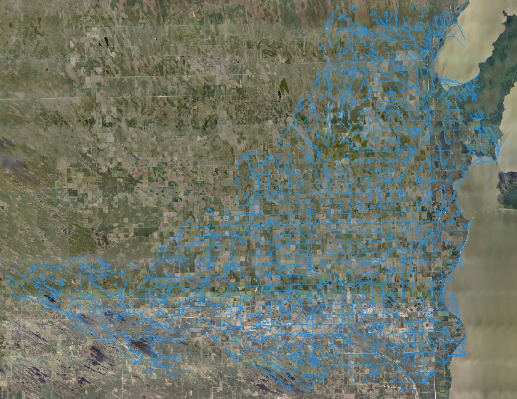
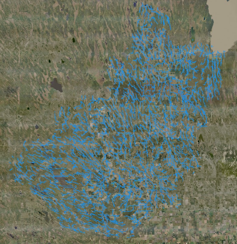
Water Flow |
|||
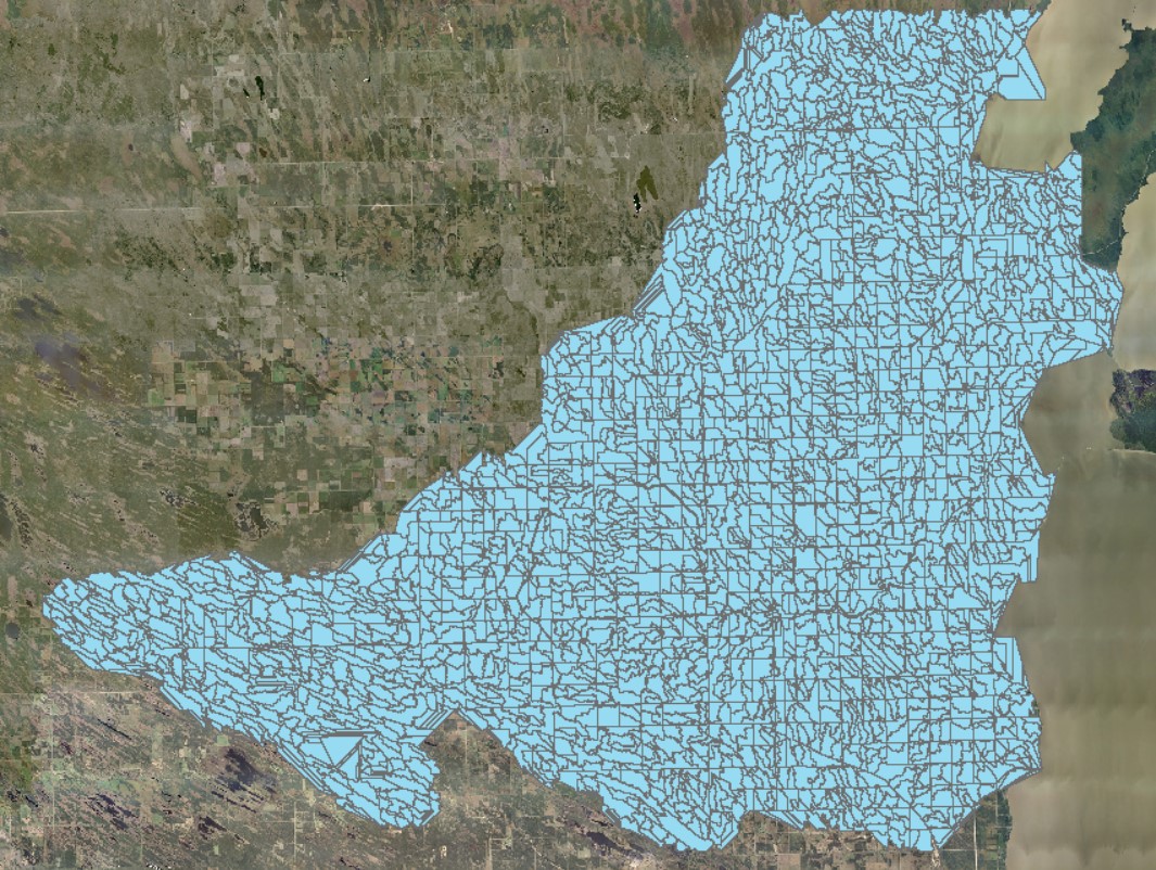
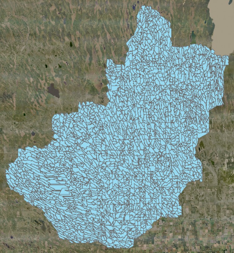
Watersheds |
|||
Erosion Risk |
|||
05SB LiDAR Data
Willow Creek
Flown in 20--
File Name |
Overview |
KMZ |
Shapefiles |
Hydro-Conditioned |
|||
Water Flow |
|||
Watersheds |
|||
Erosion Risk |
|||
05SC LiDAR Data
Icelandic River, Washow Bay Creek
Flown in 2011, Hydro-conditioned
05SD LiDAR Data
Fisher River
INFO
