
Program Objectives:
To provide landowners an incentive based, volunteer program with the intent of improving and restoring the ecological and economic benefits provided by a healthy riparian area on their land. Suitable projects include:
1. Livestock Exclusion Fencing
2. Off-Stream Watering Systems
3. Streambank/Shoreline Stabilization
4. Buffer Strip Creation
Definition:
For the purposes of this program, the area defined as "riparian" includes transitional lands between a waterbody (e.g., lake, wetland, stream) and the surrounding upland.
Eligibility:
Applicants must:
Landowners who have developed an "Environmental Farm Plan" through the Canada-Manitoba Farm Stewardship Program or "Growing Forward" will be given priority.
To provide landowners an incentive based, volunteer program with the intent of improving and restoring the ecological and economic benefits provided by a healthy riparian area on their land. Suitable projects include:
1. Livestock Exclusion Fencing
2. Off-Stream Watering Systems
3. Streambank/Shoreline Stabilization
4. Buffer Strip Creation
Definition:
For the purposes of this program, the area defined as "riparian" includes transitional lands between a waterbody (e.g., lake, wetland, stream) and the surrounding upland.
Eligibility:
Applicants must:
- sign and submit a complete "Riparian Area Management Program Application Form";
- sign and submit a "Consent to Entry and Release of Liability Agreement"; and
- own land which contains a riparian zone in the East Interlake Watershed District.
Landowners who have developed an "Environmental Farm Plan" through the Canada-Manitoba Farm Stewardship Program or "Growing Forward" will be given priority.
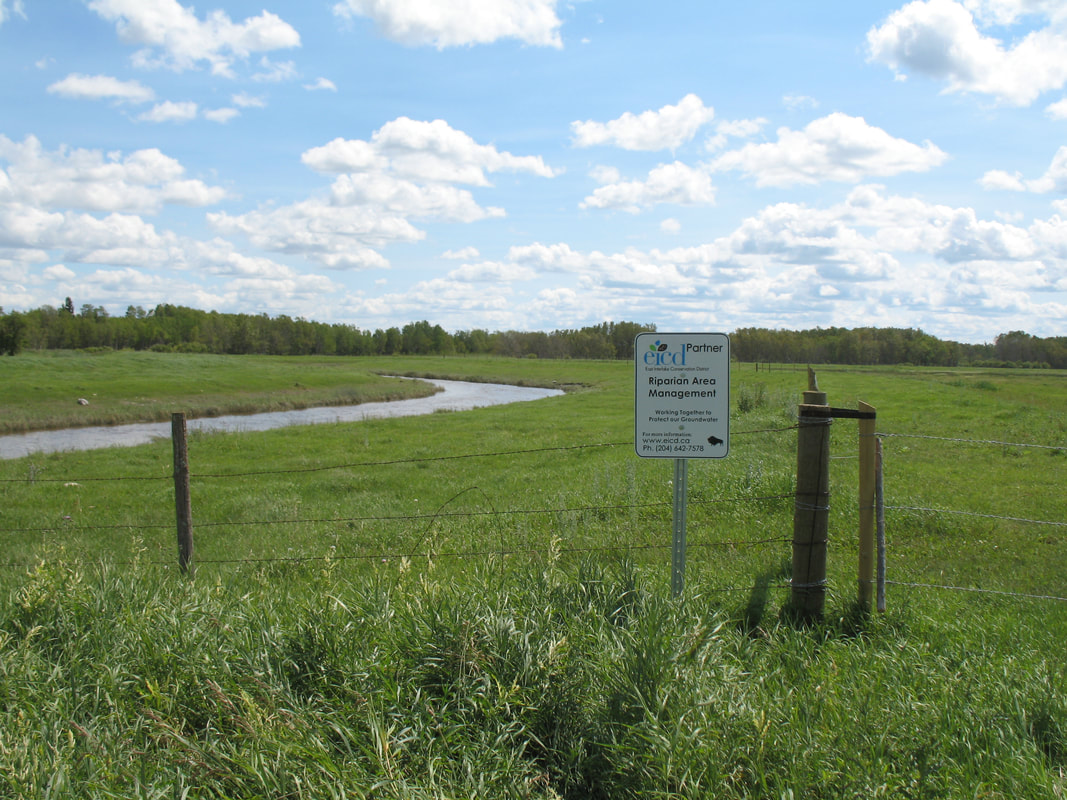
Livestock Exclusion Fencing
|
Definition: The use of fencing to prevent livestock from accessing riparian areas.
Objectives:
|
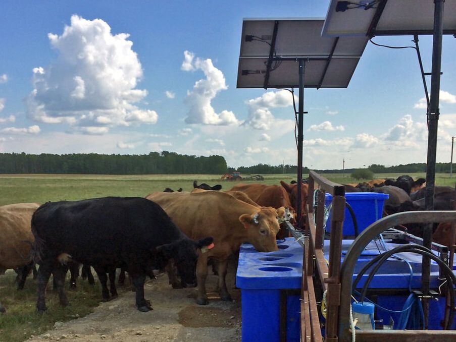
Off-Stream Watering Systems
|
Definition: The use of alternate watering systems to eliminate the need for cattle to pass through riparian areas and drink directly from a waterbody.
Objectives:
|
|
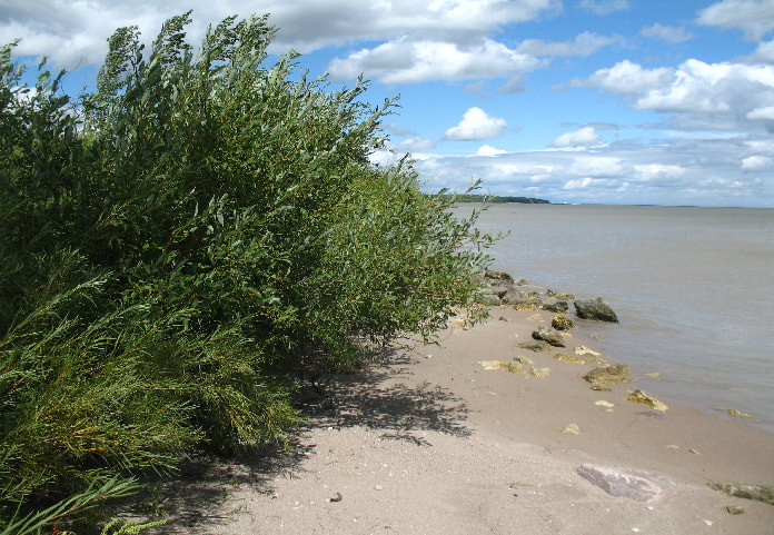
Streambank/Shoreline Stabilization
|
Definition: The use of vegetative and/or other methods to prevent the erosion or deterioration of the bank(s) of a waterway.
Objectives:
|
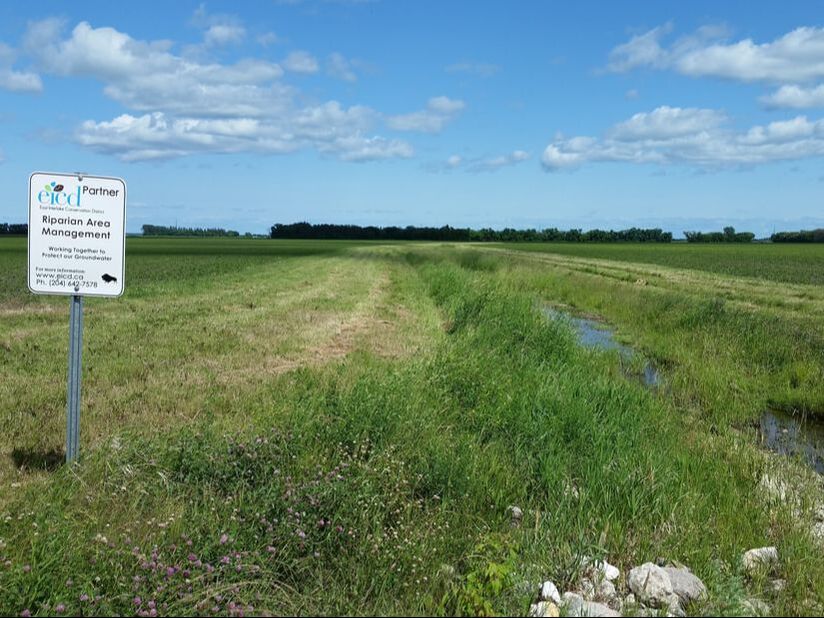
Buffer Strip Creation
|
Definition: The establishment of a vegetated strip along a waterway or waterbody that would serve to function as a riparian area.
Objectives:
|
|
